
Orthomosaic maps
Scaled, GPS-referenced aerial maps of sites and properties for planning, progress tracking and documentation.
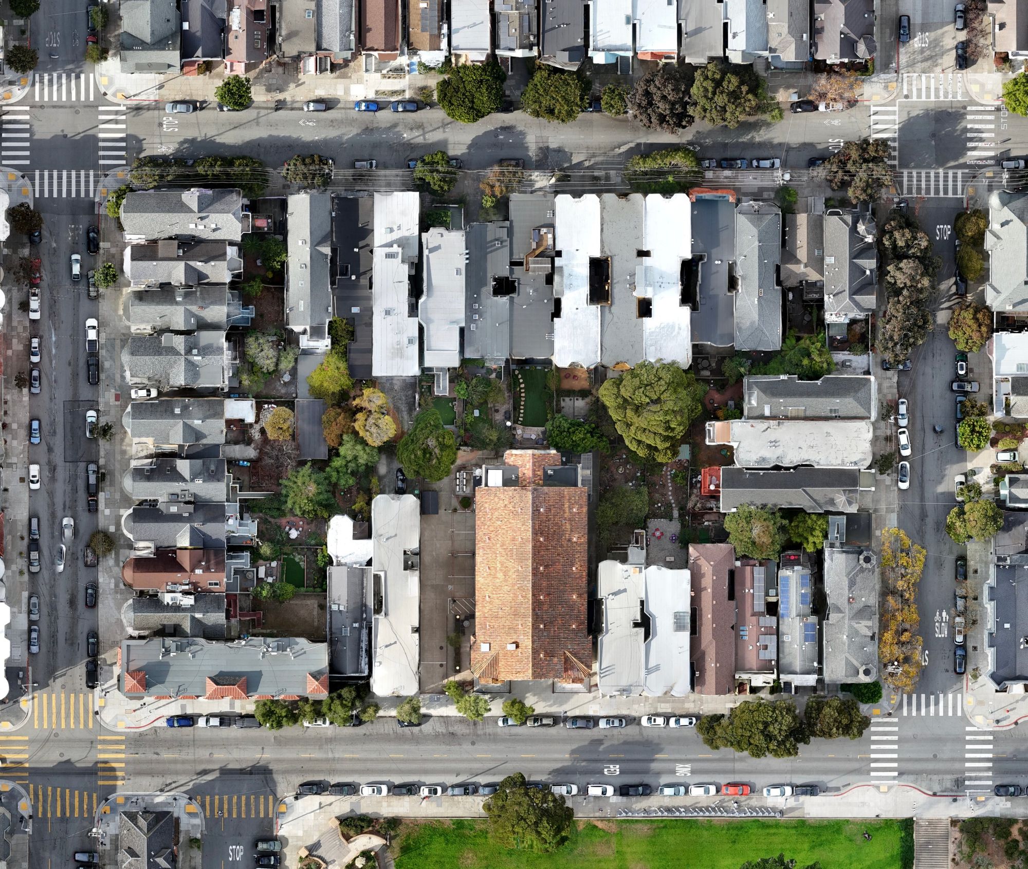
Aerial mapping & imaging
Aerial photo and video for construction, engineering, property and events across the San Francisco Bay Area. Mapping services include scaled orthomosaics and 3D site models.
Services
Every job is flown and processed by me, start to finish. You'll work with one person who knows your project.
Scaled, GPS-referenced aerial maps of sites and properties for planning, progress tracking and documentation.
Textured 3D models of buildings and sites from aerial imagery, viewable from any angle for planning and presentations.
High-res drone stills and video for construction progress, real estate, events and marketing.
Close-up aerial views of roofs and hard-to-reach areas, so you can check condition without a ladder.
Recent work
A sample of maps, models and imagery. More on Instagram.
Featured
A full 360° orbit of a building wrapped in scaffolding. One short flight gives owners and contractors a complete record of the site, plus footage ready for updates and marketing.
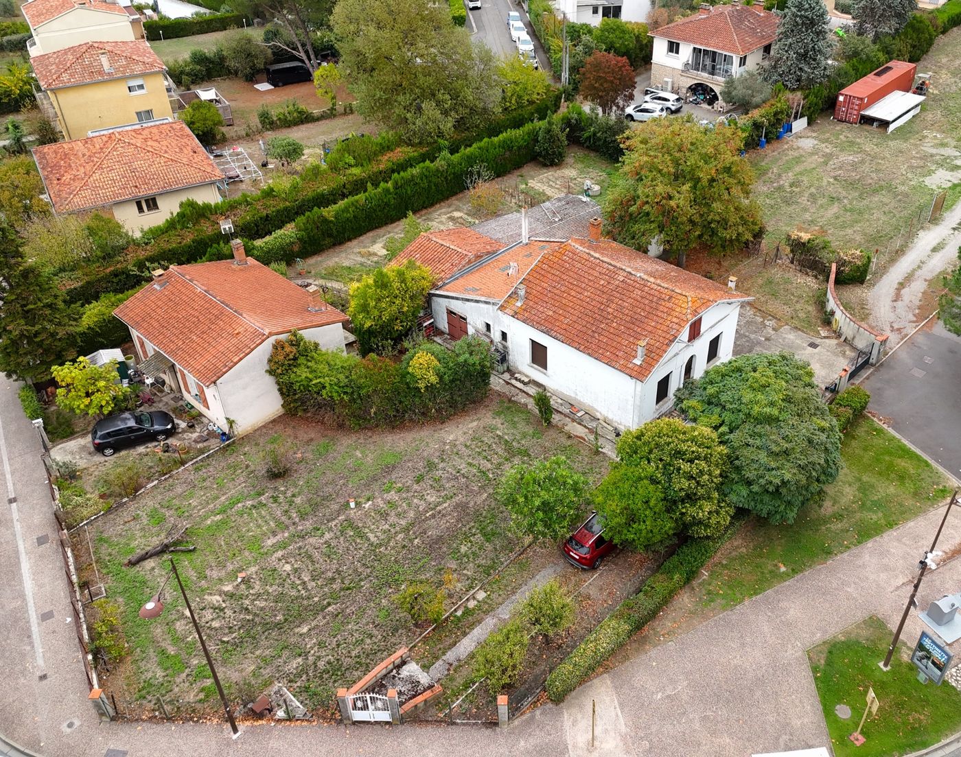
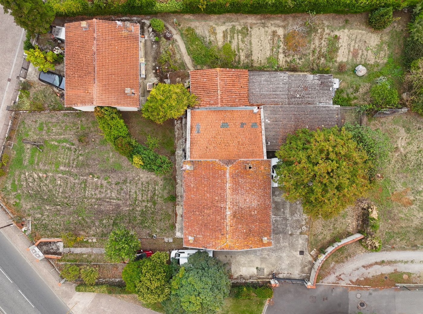
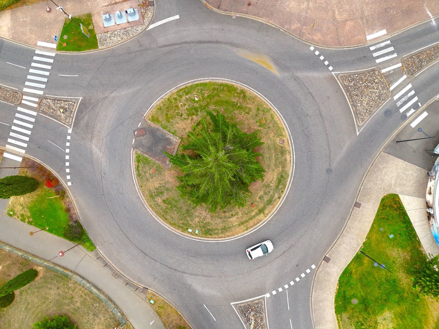
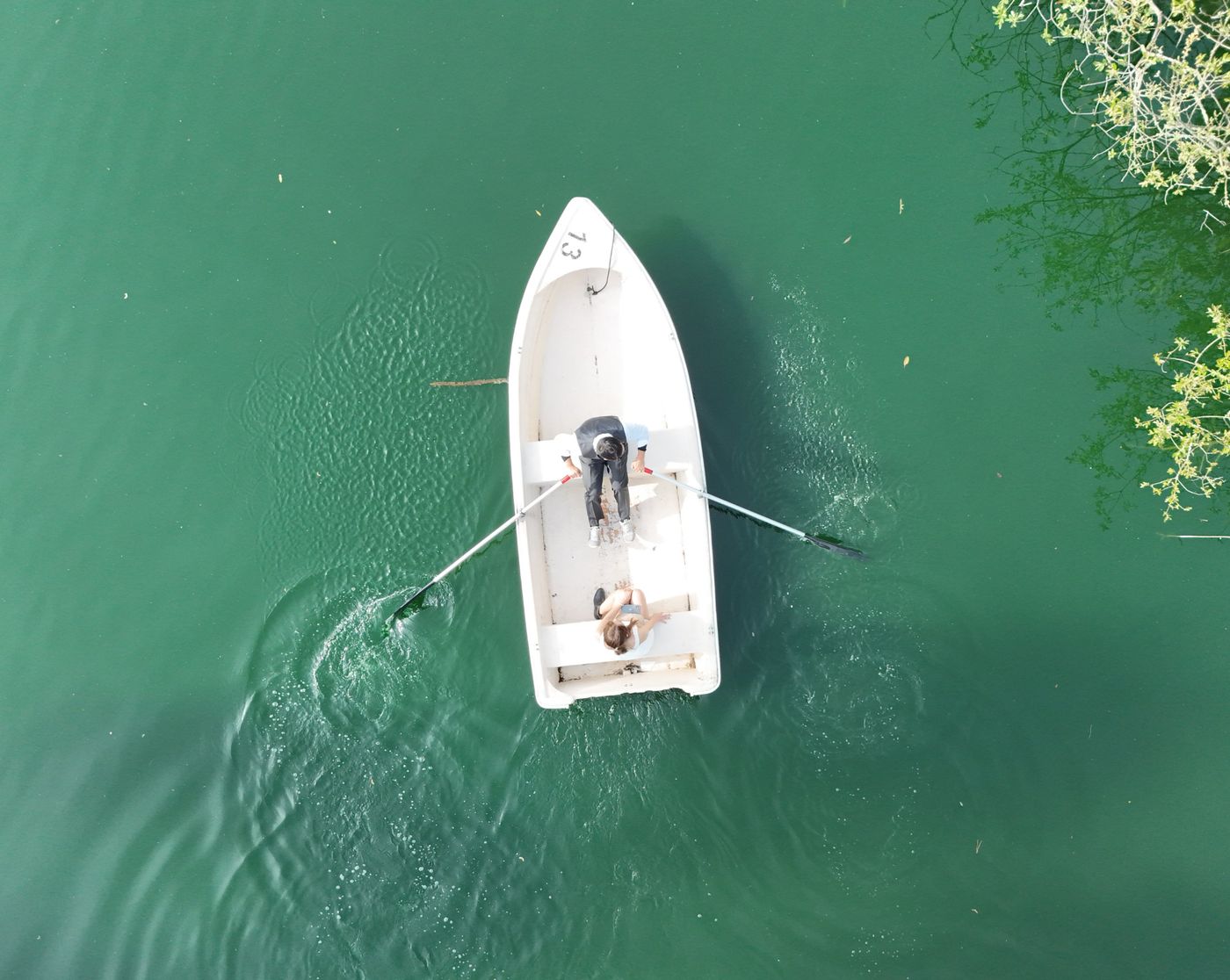
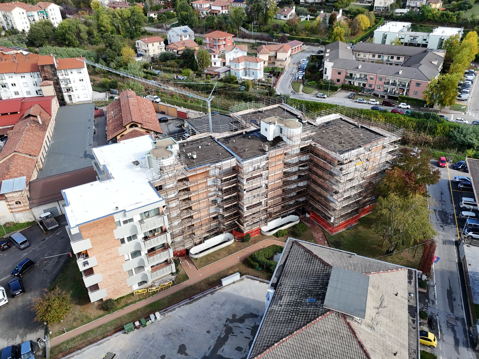
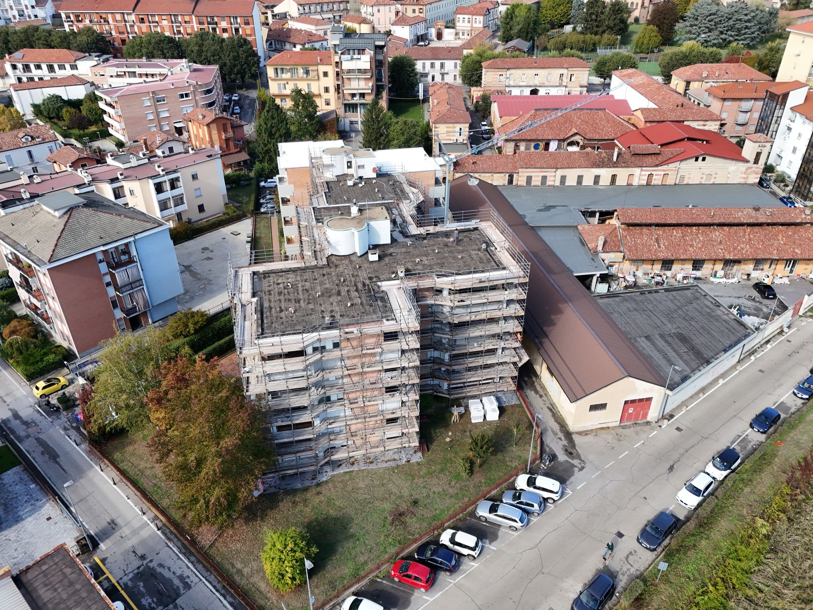
Follow along on Instagram @airstoryimaging.

About
I'm a Bay Area commercial drone pilot and licensed private pilot. Aerial imaging runs in the family: my dad ran Dixon Aerial Services, an aerial photography business, and we still own a 1929 Fairchild 71, an antique airplane that was one of the first built for aerial mapping.
Airstory Imaging carries that on with drones and digital mapping. I fly carefully, plan around airspace and weather, and deliver files you can actually use.
How it works
Location, what you need to see, and when you need it.
Airspace checks, authorizations and a flight plan built for your deliverable.
Scheduled around your site, with minimal disruption.
Maps, models, photos or edited video, delivered by download link, on time.
Contact
Send the address and what you need, and I'll get back to you with options and a quote.